PLA Colour Charts
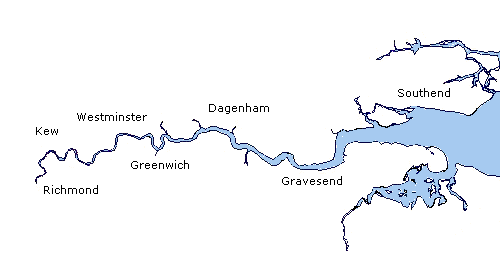
 The PLA has re-compiled its series of A0 1:1250 and 1:2500 scale charts into A2 size 1:2500 and 1:5000 colour charts more suitable for navigational use. These are issued as two folios of charts, covering Teddington to Putney (charts 301 - 312) and Wandsworth to Margaretness (charts 313 - 325).
In order to support effective passage planning, the PLA recommends that, where the size and construction of the vessel allows, all commercial, inland waterways vessels carry the largest, appropriate scale of chart for their area of operation.
In addition, and in order to meet the requirements of the national Fitness for Purpose Standard and the forthcoming Inland Waterways Freight Vessel (Technical) Standards for Newbuild Vessels, it will now be a requirement for all such vessels licensed by the PLA to carry suitable charts.
These A2 colour charts will now replace the existing A0 1:2500 scale charts from Teddington to Maragretness. The PLA will continue to publish the larger scale A0 charts from Barking to Southend (charts 326 - 387). The chart areas have remained unchanged so click on the map below to find the chart area and number you are interested in. Individual charts or complete folios are available to buy direct from the PLA shop.
.jpg) Examples of charts are available for viewing on PLA Harbour Service craft and major operators' offices.
Examples of charts are available for viewing on PLA Harbour Service craft and major operators' offices.
Folios currently available from the PLA Hydrographic Service are:
Folio 1:Teddington to Putney
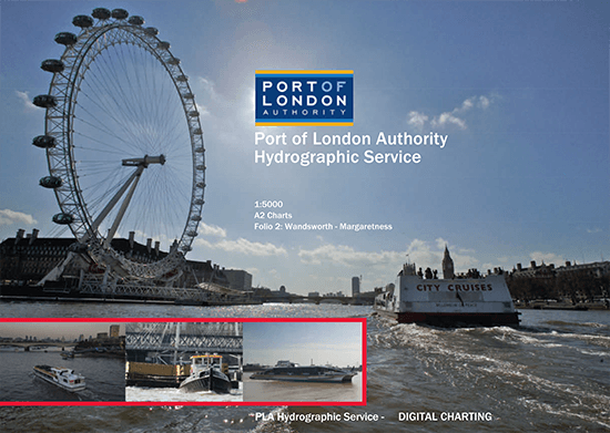
Folio 2: Wandsworth to Margaretness
For more information please contact the PLA Hydrographic Service on +44(0)1474 562207 or buy direct from the PLA Shop.
