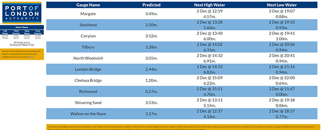
Tide Tables
Select your gauge
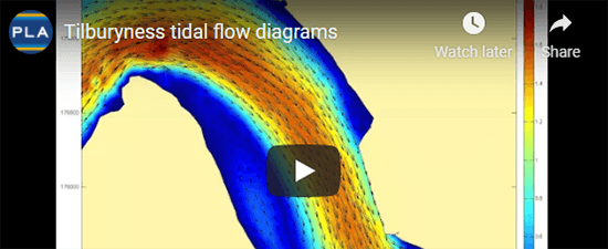
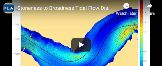
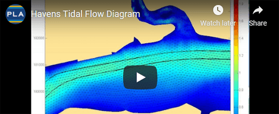
Wealth of Information
Our state-of-the-art model can be licensed to carry out studies quickly.

Find the times of high and low water at particular places on the River Thames.

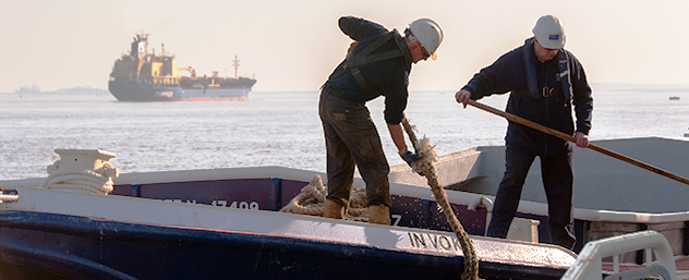
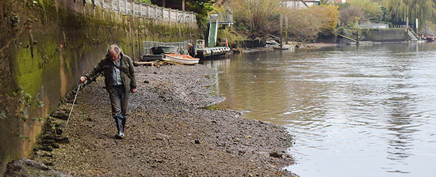
Essential information for safe navigation on the tidal River Thames.